Footpaths and Walks
Oakley Village Nature Trail
A wonderful map can be seen by the village pond which shows six walks around Oakley and the surrounding areas. This was produced by the Parish Council with the help of local expertise. In 1994, the walks won 1st prize in the Esso and HIOWWT competition. To commemorate the 30th anniversary, a self guided version of one of the walks has been produced. This takes in the Multi User Route from Oakley to Kempshott which is very popular with walkers and cyclists among others, and is supported by Hampshire County Council and Jubiloaks.
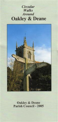
Circular Walks around Oakley & Deane
This leaflet shows some local walks, and walks that take in more of the surrounding countryside.
Rights of Way Map
A Rights of Way map of the area is available to view by following the link below. The Walking in Hampshire website is also worth a visit at www.walkinginengland.co.uk/hants, where you can download details of walks and find lots of interesting information.
Local List Walk
A 'Local List' Walk has also been created that will take you around Oakley village. The Local List recognises buildings that are not listed or in conservation areas but contribute significantly to the unique character of our area. In the attachment below you can find some of the buildings that have contributed to the Local List.
Cycle Network
The Basingstoke Cycle Network provides for good cycling in the area. See the map of all existing and proposed cycle routes across the town, including where the best places are to park your bike on the link below.
